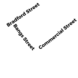
196-R BRADFORD ST
Owner Information
D & K REALTY TR
73 SHANK PAINTER RD
PROVINCETOWN, MA 02657


Property Details
196-R BRADFORD ST is classified as a Undevelopable Residential Land.
196-R BRADFORD ST is valued at $14,800. The land is valued at $14,800 and the structures are valued at $0.
This property is in Zone R3. Confirm with local Zoning Board authorities to ensure there are no overlays or other easements on this property.
The most recent deed for 196-R BRADFORD ST is recorded at the local registrar in Book 31642, Page 88. 196-R BRADFORD ST was last sold on Friday, November 2, 2018 for $100.
Assessment data from fiscal year 2021.
Flood Data
According to the FEMA National Flood Hazard Layer, this property does not appear to be in a flood zone. It may also be in an area not yet reviewed. Nonetheless, confirm this information prior to taking any action.
To view the flood hazards around this property, create a FEMA "Firmette" Map of the area around 196-R BRADFORD ST.
Broadband Internet Providers
| Provider | Type | Bandwidth (mbps) | |
|---|---|---|---|
| Verizon New England Inc. | DSL | 15 | 1 |
| Comcast | Cable | 1000 | 35 |
| VSAT Systems, LLC. | Satellite | 2 | 1 |
| HughesNet | Satellite | 25 | 3 |
| GCI Communication Corp. | Satellite | 0 | 0 |
| Viasat Inc | Satellite | 35 | 3 |
Broadband service provider data from December 2020.
Adjacent Properties
- 10 WILLOW DR
Single Family Residential owned by D & K REALTY TR - 196 BRADFORD ST
Two-Family Residential owned by GARY PASNICK - 198 BRADFORD ST
Single Family Residential owned by S STEIN & G RILLEAU REV TR - 198-R BRADFORD ST
Undevelopable Residential Land owned by STEIN STEVEN B ET UX - 21-A BANGS ST
Multiple Houses on one parcel owned by RUSSELL DWIGHT P ET UX - 25-R BANGS ST
Undevelopable Residential Land owned by SANTOS CLARENCE J JR ET AL - 17 BANGS ST
Single Family Residential owned by SOUZA 2013 FAMILY TRUST